Utilizing Science and Monitoring to Increase Effectiveness
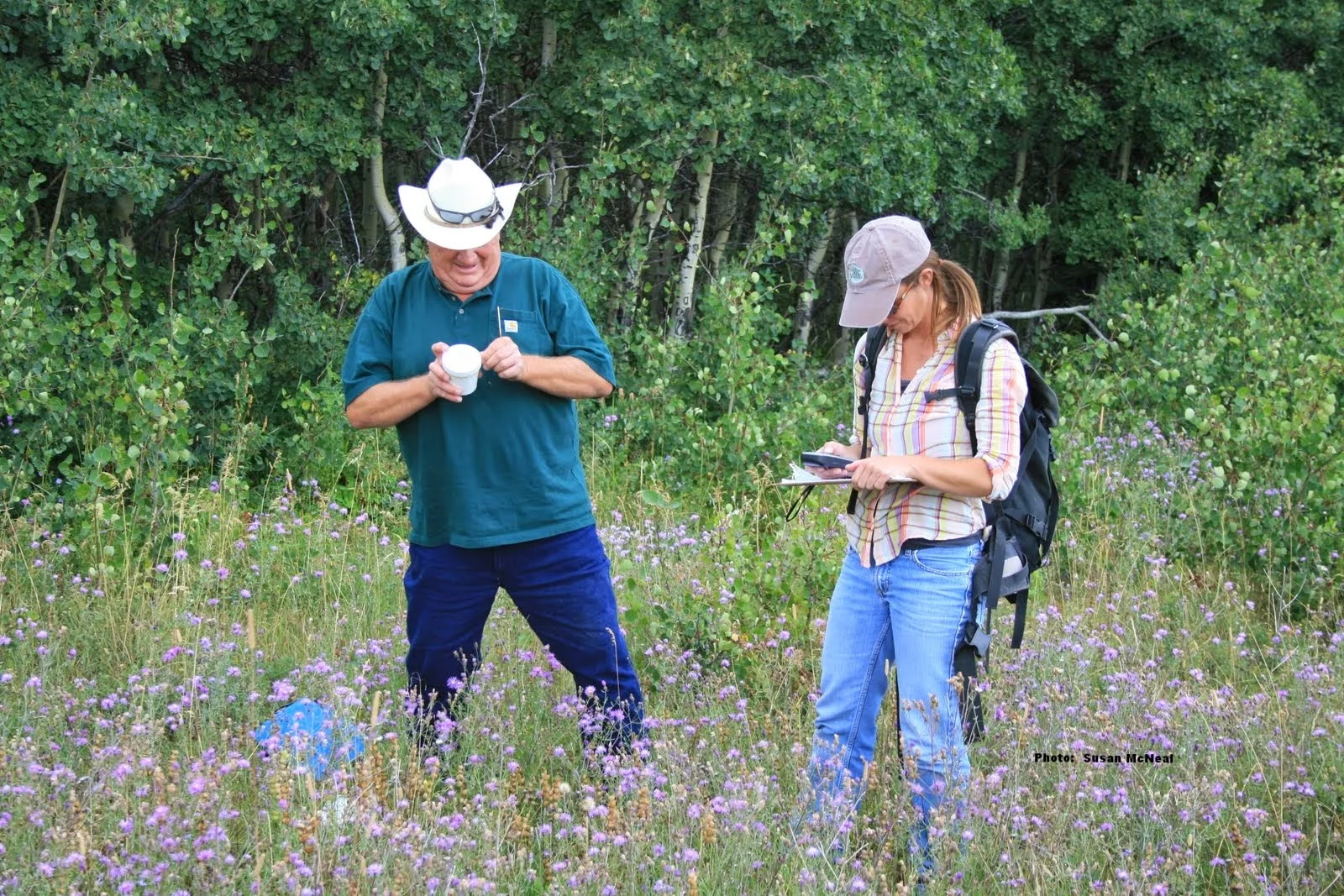
The Roundtable engages in ongoing research and monitoring activities across the program area to identify the best actions to take and the most strategic locations in which to take them, maximizing the impact of the work we do and effectively using financial resources.
As anyone working with noxious weed management knows, prevention is key, along with Early Detection Rapid Repsonse (EDRR)! Once an area is invaded, infestations grow, and mangement becomes more difficult, time consuming and costly. So what is really the best management strategy?
One way used to assess effectiveness is through photo point monitoring, which is an easy and inexpensive, yet effective, method of monitoring vegetation and ecosystem change over time. The power of low-cost biological controls used on leafy spurge is quickly seen through these monitoring photos taken at the same point in 1996 and again in 2014 on the Front near Choteau by The Nature Conservancy.
Conservation Innovation Grant Project
In September 2012, the Roundtable set out to answer the question of best management strategy. It was awarded a $220,000 Conservation Innovation Grant (CIG) from the Natural Resources Conservation Service, entitled “Implementation of a Cost-Effective, Broad-scale, Integrated Weed Management Model.” The Roundtable used data from a 2011 study conducted by The Nature Conservancy that modeled weed spread across the Rocky Mountain Front over time. The model predicted weed spread and calculated the best management practices and cost-effective methods to limit overall weed spread. From 2013 through 2016, Roundtable partners worked with private landowners in four drainages – Dearborn River, Deep Creek, Muddy Creek and Birch Creek to implement these methods: developing noxious weed maps, personalized weed management plans for each landowner, and overall drainage-wide weed management plans. Commercial herbicide applicators were hired to survey and map each property and chemically treat smaller “satellite” patches of weeds. For large, well-established patches, the perimeter was treated with herbicide and the Roundtable released biological control agents within the interior of the patch. Spread vectors such as public roads, irrigation ditches and two-track roads were also surveyed and all survey tracks were subsequently recorded.
26 private landowners participated in the grant, involving 117,590 acres. The grant paid for 75% of the contracted work and the landowners paid a cost-share of 25%. Partner time spent on the project served as in-kind match as will any Roundtable Community Project held in that drainage. The project put over $500,000 in cash and in-kind landowner donation on the ground across the project area.
It is expected that by directly working with CIG participants in the four subject drainages in a strategic fashion, weed management will transform over time and at a large scale. During the duration of the project, the overall level of weed infestation on participant properties was reduced by 74% and new invaders were reduced by 75%. 125,000 biological control insects were also released on participant properties. Local landowners and managers will transition to strategic, cost-effective weed management along the Front. The result to stakeholders will be less time-consuming and more cost-effective weed management and increased rangeland productivity. Results from this project will serve as a primer for other weed managers across the West.
Continued vigilance and cooperation has resulted in marked reductions in both weeds at treatment sites, established local insect collection sites, and now provides a lower-cost, long-term alternative to traditional weed management.


